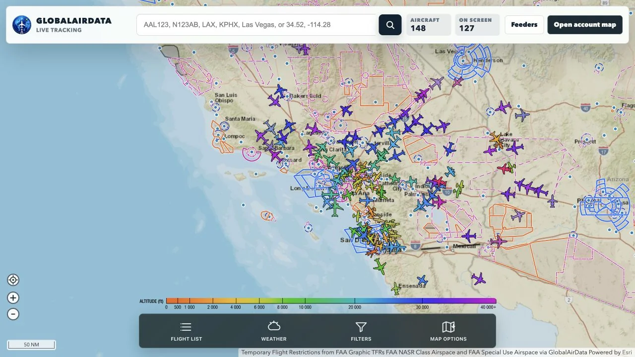
Live aircraft map
View real-time aircraft, airport weather, airspace overlays, feeder scopes, and aircraft details on the tracking map.
Open map
GlobalAirData
Aircraft data for research
Open aircraft data network
GlobalAirData brings together community ADS-B receivers to support live tracking, coverage research, fuel-burn modeling, climate-impact studies, and better visibility into how aircraft move through the national airspace system.
Why it matters
Every receiver improves the picture. More coverage helps researchers study traffic flows, altitude profiles, route efficiency, aircraft utilization, and the operational patterns that drive fuel consumption and climate impact. Your feeder turns a small antenna into a useful public-interest data source.
View real-time aircraft, airport weather, airspace overlays, feeder scopes, and aircraft details on the tracking map.
Open mapInstall GlobalAirData on an existing PiAware/readsb receiver or flash a fresh GlobalAirData feeder image.
Install guideReceiver metadata, coverage, signal health, MLAT readiness, and aircraft histories help make the data more useful.
Research FAQCommunity powered
If you already run a Raspberry Pi ADS-B feeder, the GlobalAirData overlay installer adds our agent without replacing your current feeder stack. If you are starting fresh, the lightweight Pi image includes the decoder, agent, local setup page, update system, and claim workflow.
Compare install pathsReady to contribute?